
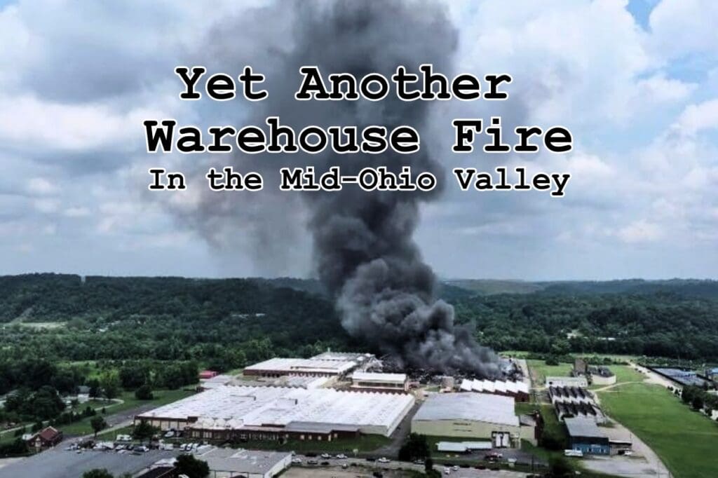
Yet Another Warehouse Fire In the Mid-Ohio Valley
July 8 2026
ATTENTION PARKERSBURG & VIENNA RESIDENTS
(Downwind / Parallel Plume Areas):
We are trying to systematically map out where the smoke and soot from the Camden Avenue warehouse fire actually touched down in our neighborhoods to see how far the fallout traveled. The county officially limited its shelter-in-place warnings to a small quarter-mile radius right around the fire. However, firsthand property tracking and local air sensors indicate that weather conditions and atmospheric trapping carried a heavy envelope of fine rubber soot miles downwind into areas that never received an official alert. We need your help to map the real boundary lines. If you live in an area that has black soot issues from the Peoples Cartage fire and live on a ridge (Vienna, Dutch Ridge Road, or other areas, etc.), please reply below with: Your general neighborhood or street name (Please do not post your exact house number for privacy). The elevation of your property (if known). What physical evidence did you find? (e.g., sticky gray-black film on pool water, dark soot on cars or patio furniture, or black residue on outdoor pets or gardens). Were you ever officially notified or warned by the county to shelter in place?
ACTION PROTOCOL — SAVE A PHYSICAL SAMPLE: If you still have heavy black soot sitting on your patio furniture, windowsills, or vehicles, please help preserve the evidence. Wipe a section of the soot using a clean, dry paper towel, place the towel inside a ziplock bag, and write the date, time, and your street/road name clearly on the bag with a Sharpie. If you have clear, time-stamped photos of the black soot on your property, please drop them directly into the comments below. Let’s build a transparent, community-driven record of where this plume actually impacted our valley. Thank you.”
Send questions, concerns, reports, and pictures to movcac@yahoo.com
Discover more from MOVCAC.com
Subscribe to get the latest posts sent to your email.
